THU • JUL 30
83° / 66°
Warm and humid. A spotty afternoon thunderstorm is possible.
A few days away from notifications. Paddleboards loaded with everything we need. Coffee by the water. One tradition worth keeping.
The information we actually need first
Warm and humid. A spotty afternoon thunderstorm is possible.
Cloudy and humid. Another spotty afternoon thunderstorm is possible.
Partly sunny and humid.
Humid with plenty of sunshine.
Actual marine check
Checked against the National Weather Service and NOAA buoy observations late Sunday, July 26, 2026.
Southwest wind around 5 kt, becoming east toward daybreak. Showers and thunderstorms possible, with patchy smoke after midnight.
Morning showers and thunderstorms possible, then only a slight shower chance in the afternoon.
Variable winds becoming east around 5 kt. Mostly sunny.
Water 51.6°F, air 52.9°F, reported wave height 0.0 ft at 11:50 PM EDT July 26. This buoy is well offshore and is context, not a substitute for Red Cliff or LSZ147 conditions.
The official NWS nearshore marine forecast does not yet extend through the full trip window. The current check is useful for the trend, but it is not a valid crossing forecast for Thursday through Sunday. The site now links directly to the official zone and real-time Red Cliff wave page so it can be checked again when the trip window enters the forecast period.
Actual map • OpenStreetMap
This is a real geographic basemap, not an illustrated route. Zoom and pan directly in the map. The markers and dashed planning line remain in the interactive map farther down the site.
Why we come back
Last year, we found something worth turning into a tradition.
It is not really about “going camping.” It is the quiet crossing, the weird little discoveries, the campfire meals, the lake changing every hour, and having nobody to answer to but each other and the weather.
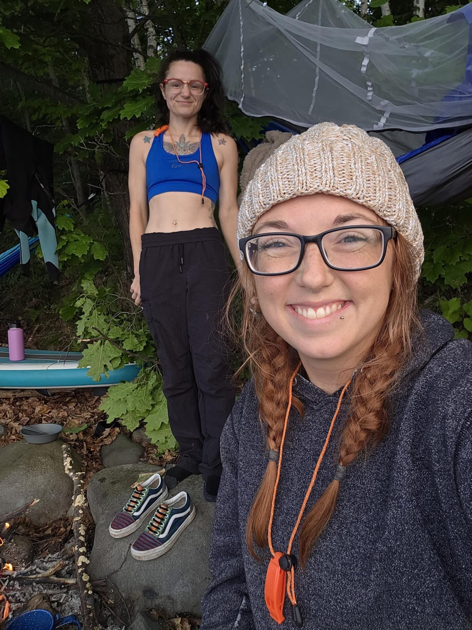
Coffee by the lake before the day decides what it wants to be.
One more shoreline, rock shelf, hidden corner, or place to hang a hammock.
The things that go slightly wrong are usually the stories that survive the longest.
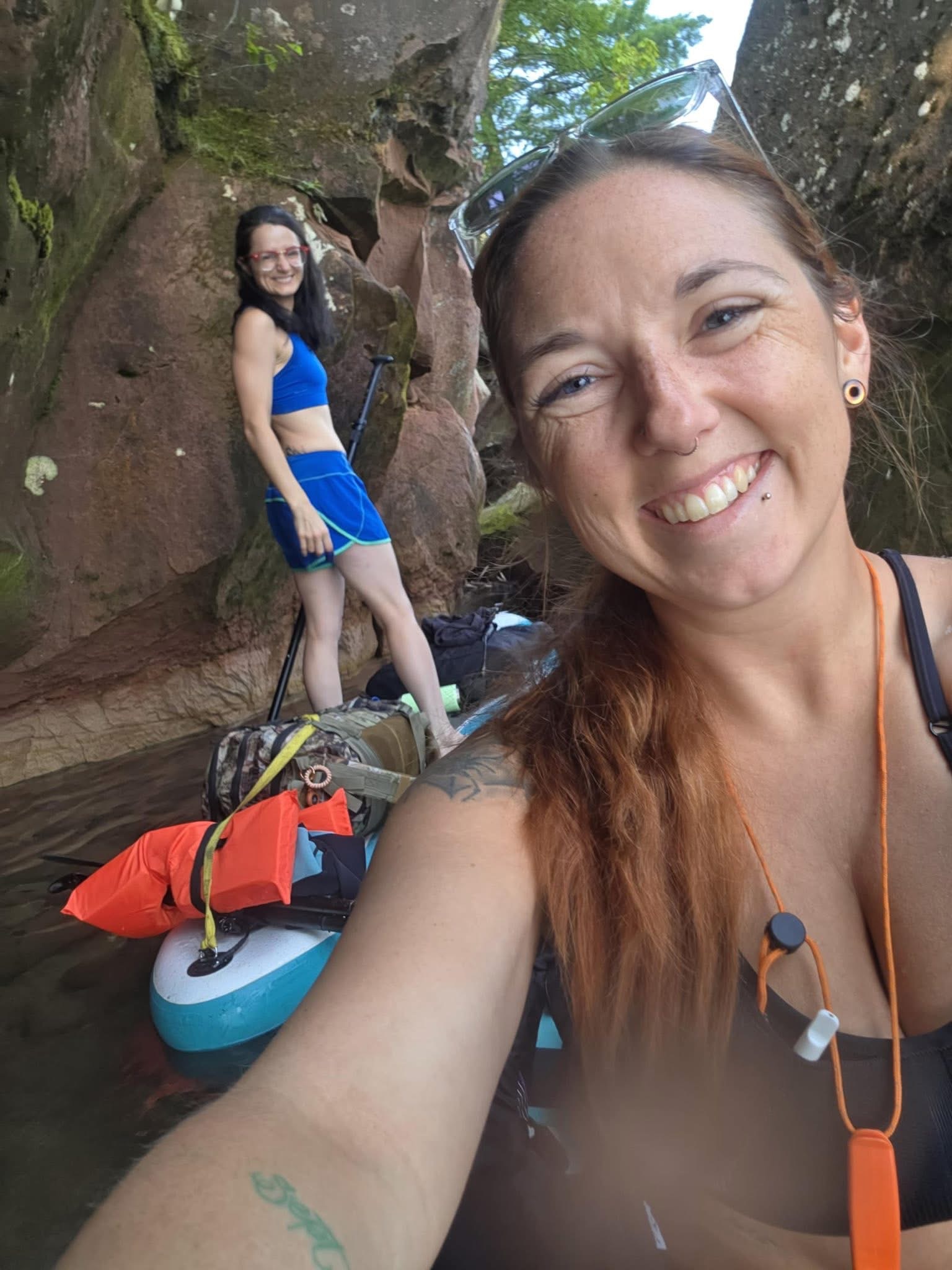
This year's adventure
Hermit is home base. Basswood is the extra adventure if the lake gives us the opening. If not, Hermit has never disappointed us.
Interactive route map
Real basemap, real island geography. The dashed lines show the idea, not a navigation track. The lake decides the exact route.
Boards loaded, last-minute checks, then out.
Camp, coffee, shoreline exploring, and no schedule.
A day trip if conditions and energy feel right.
Last year's little moments
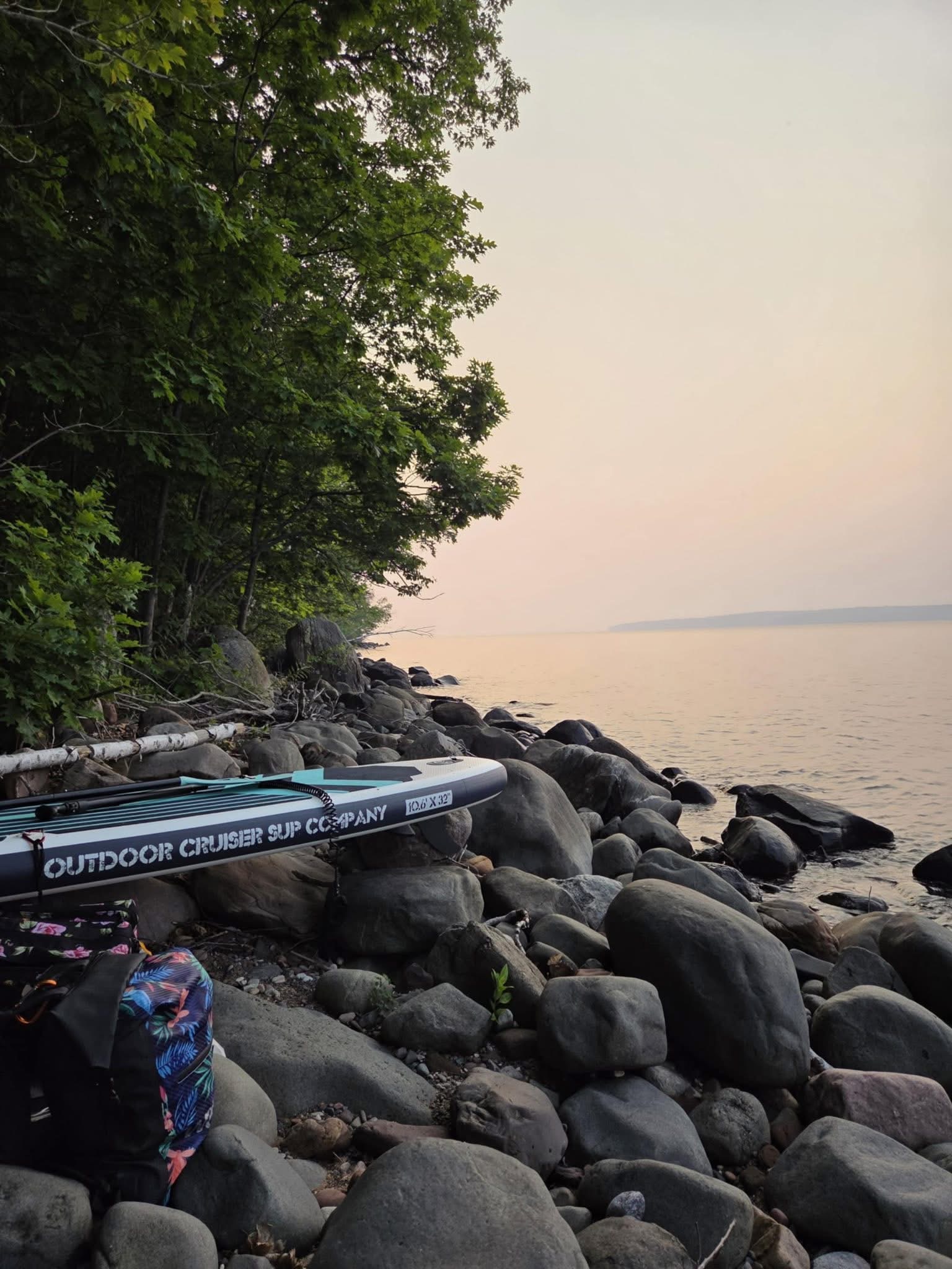
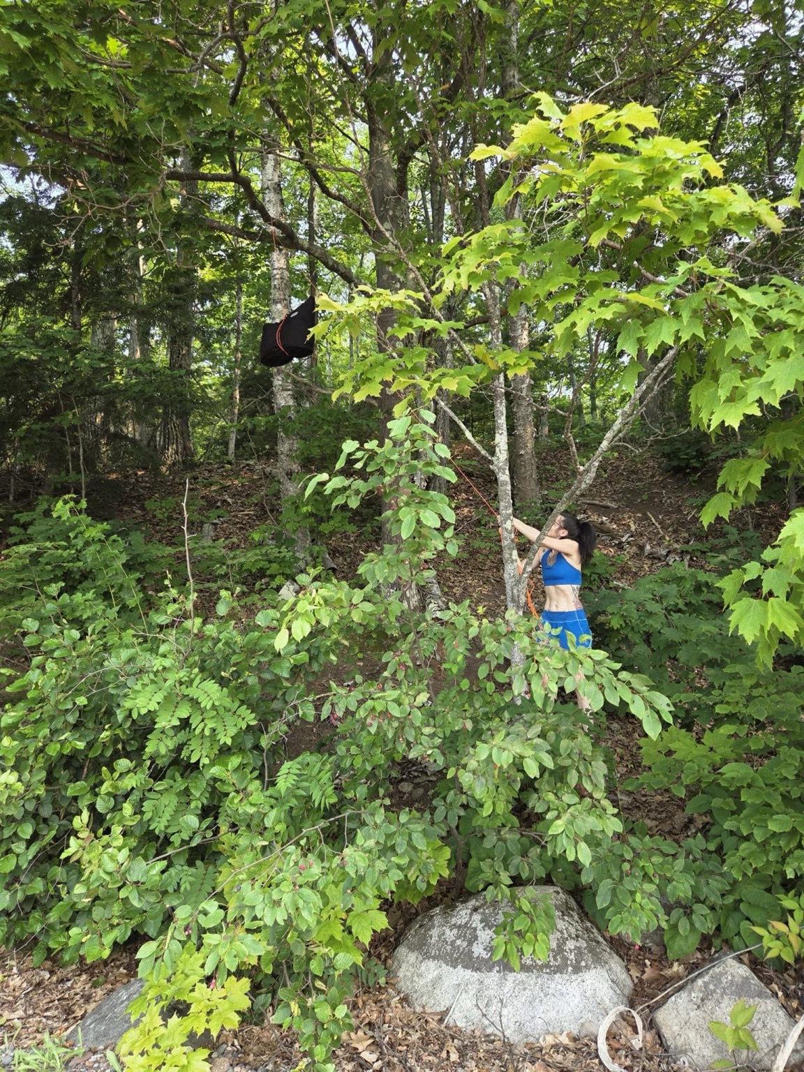
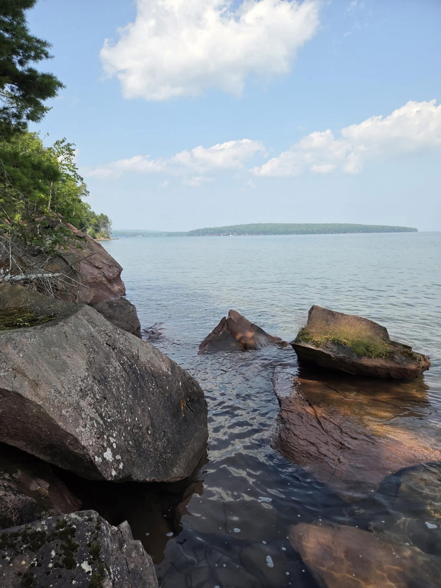
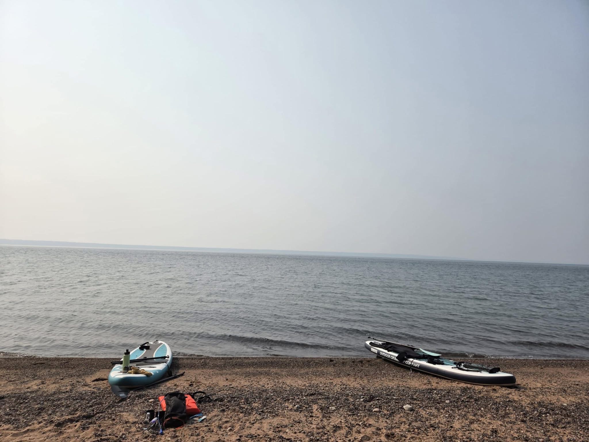
Morning coffee check
The four-day air forecast is above. This card is for the conditions that decide whether today is a crossing day, a shoreline day, or another-cup-of-coffee day.
Use this quick field card to record the newest official forecast and what the lake looks like from shore before heading out.
What's coming with us
Brittany is packing her own full setup. This tracks the gear we photographed, Ashley's system, and the handful of things worth cross-checking before launch.
Today's story
Year two
Some traditions start by accident. The good ones become annual.